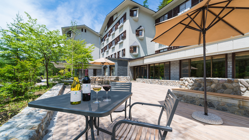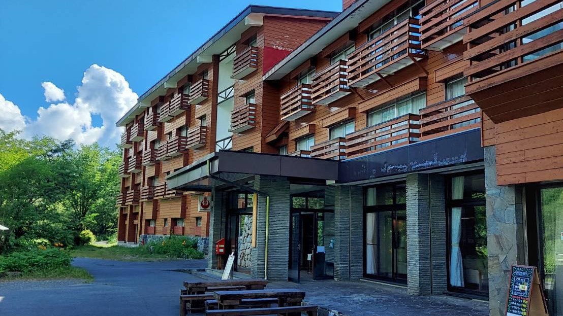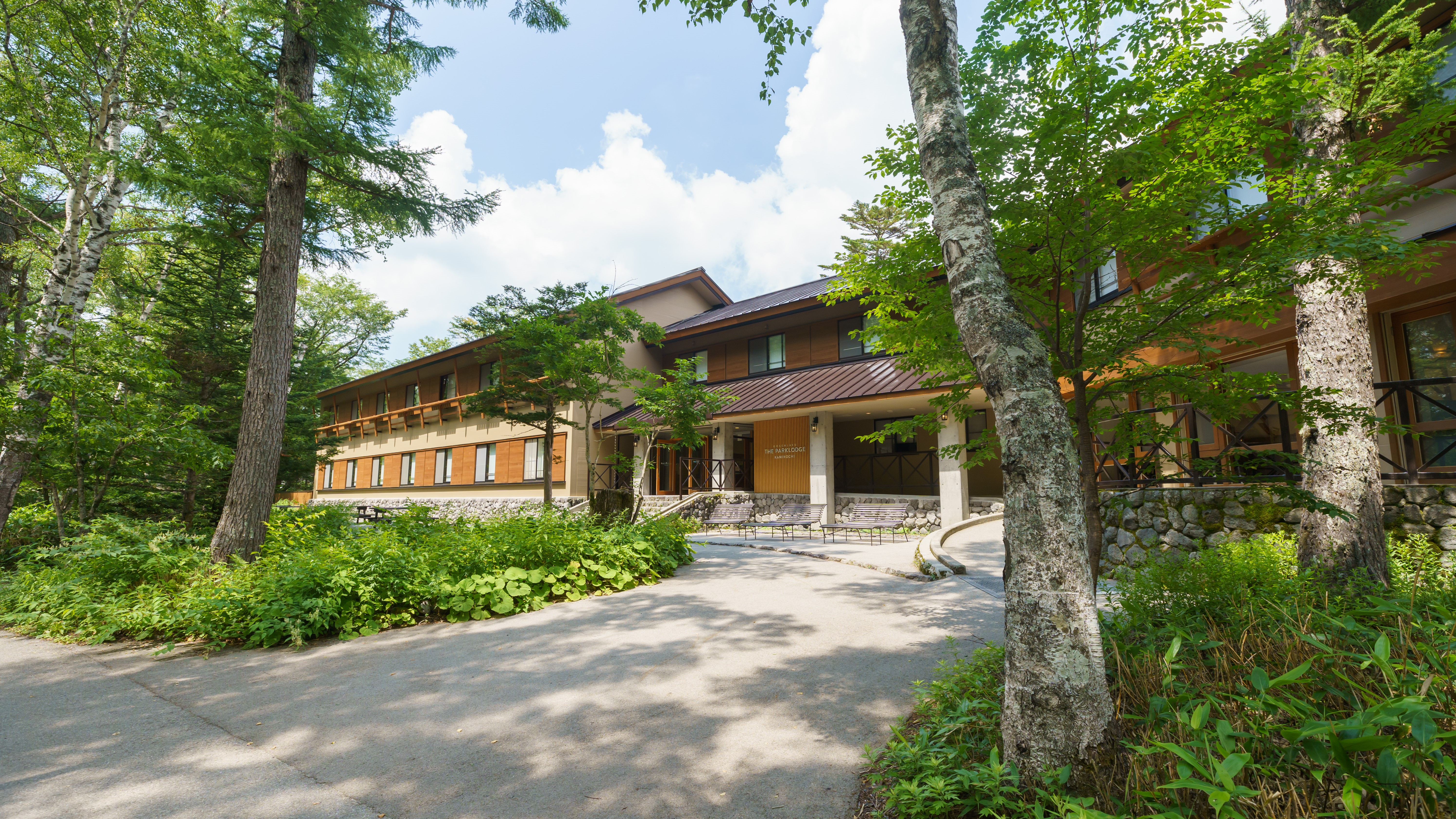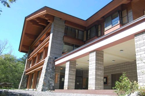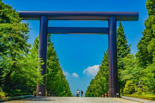


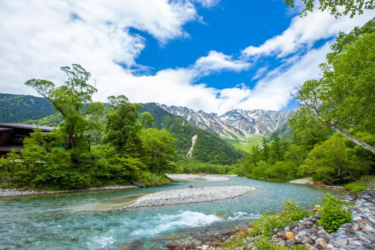


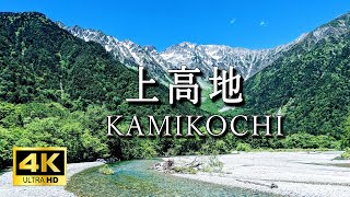
Kamikochi
Access is about 90 minutes by bus from Takayama, via Hirayu Onsen, during which you can enjoy the magnificent scenery of the Northern Alps. Not only is it a tourist destination, but it is also beloved by outdoor enthusiasts for hiking and trekking opportunities. Kamikochi was introduced to the world by British missionary W. Weston, who is known as the "Father of Modern Mountaineering in Japan."
Each season has its own characteristics: spring offers fresh greenery, summer brings refreshing breezes, autumn showcases beautiful foliage, and winter presents a tranquil snowy landscape, making it a worthwhile destination to visit year-round. Why not visit Kamikochi to experience its diverse nature and history and find peace for your soul?
Basic Information
- Spot Name
- Kamikochi
- Location
- Azumi Kamikochi, Matsumoto City, Nagano Prefecture
- Access
- [Bus] Shuttle Bus "Kamikochi"
To preserve its beautiful and abundant nature, Kamikochi has a year-round private car restriction.
You will need to transfer to the "Kamikochi Shuttle Bus," which operates from the Sawando area on the Nagano Prefecture side and the Hirayu Onsen area on the Gifu Prefecture side. - Parking
- No parking available.
- Business Hours
- Varies by facility.
- Contact Information
- Phone Number: 0263-95-2433(上高地インフォメーションセンター)
- Official Website
Map
Detailed Information
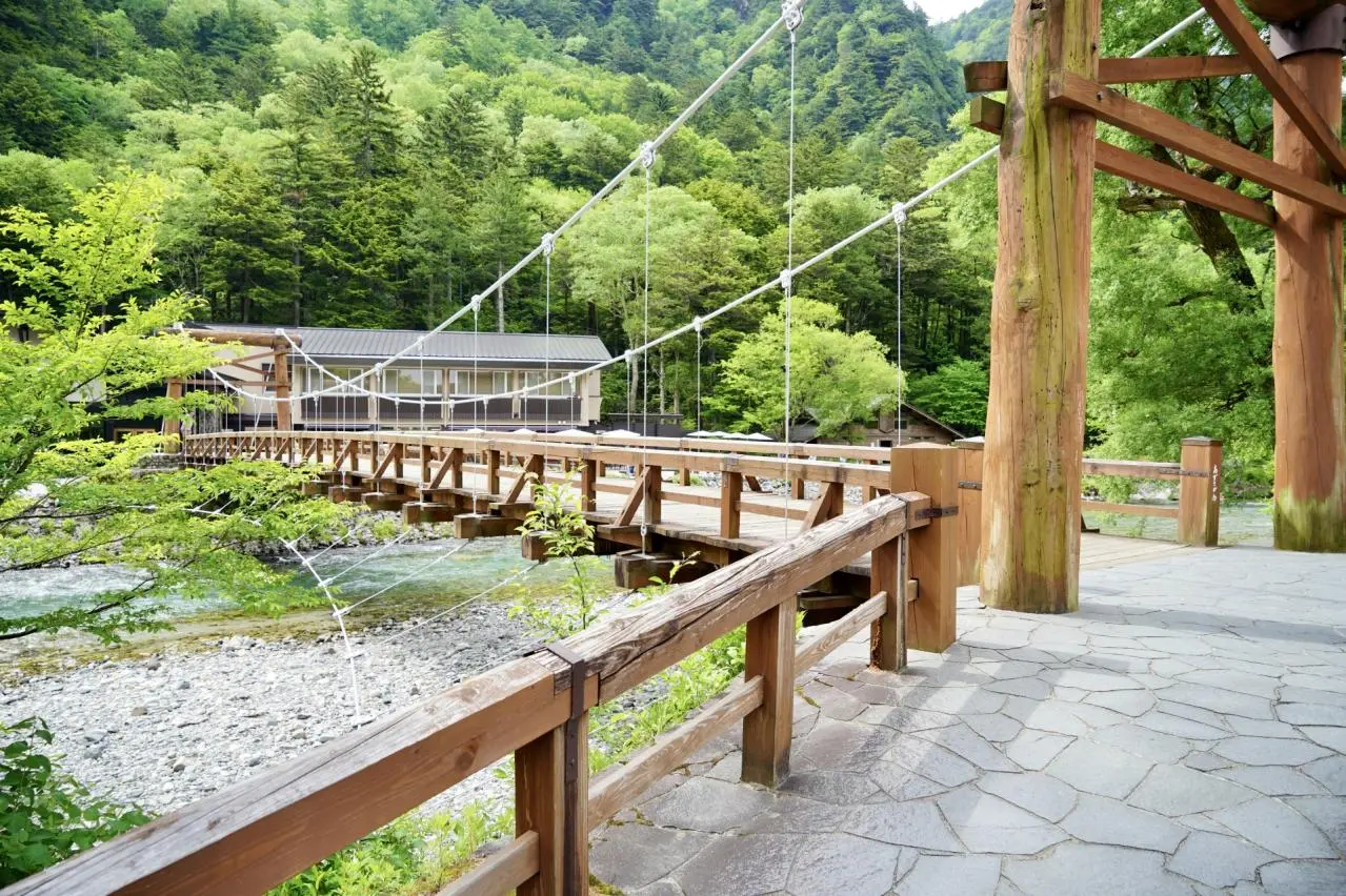
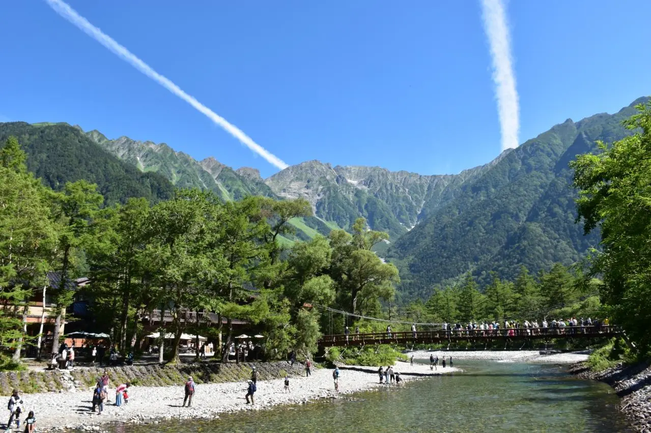
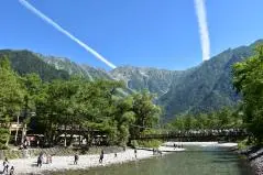
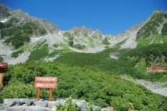
▶Kappa Bridge, the landmark of Kamikochi
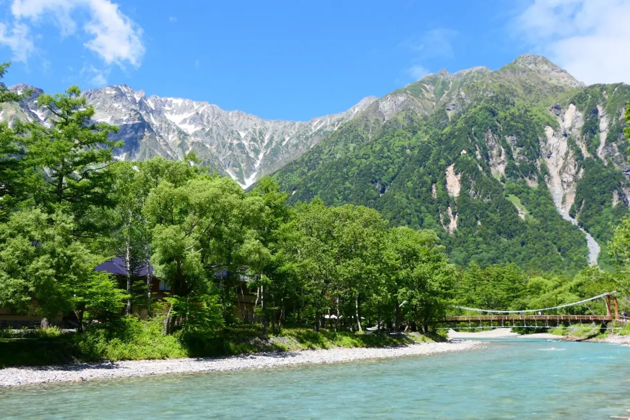
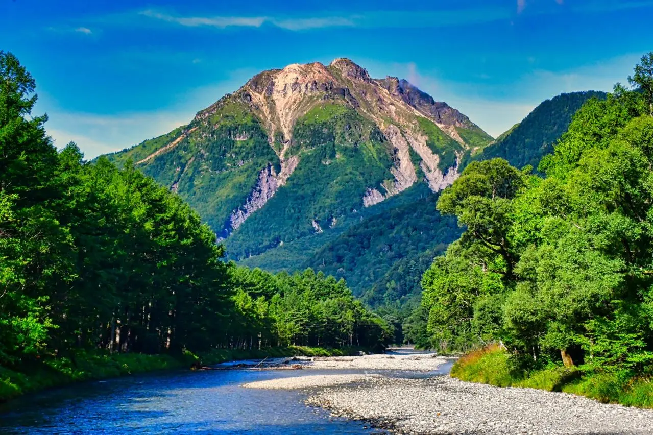
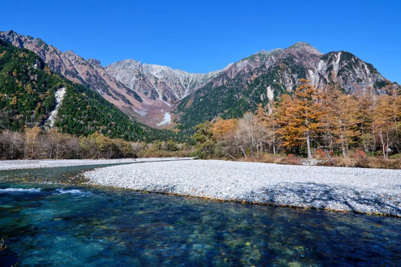
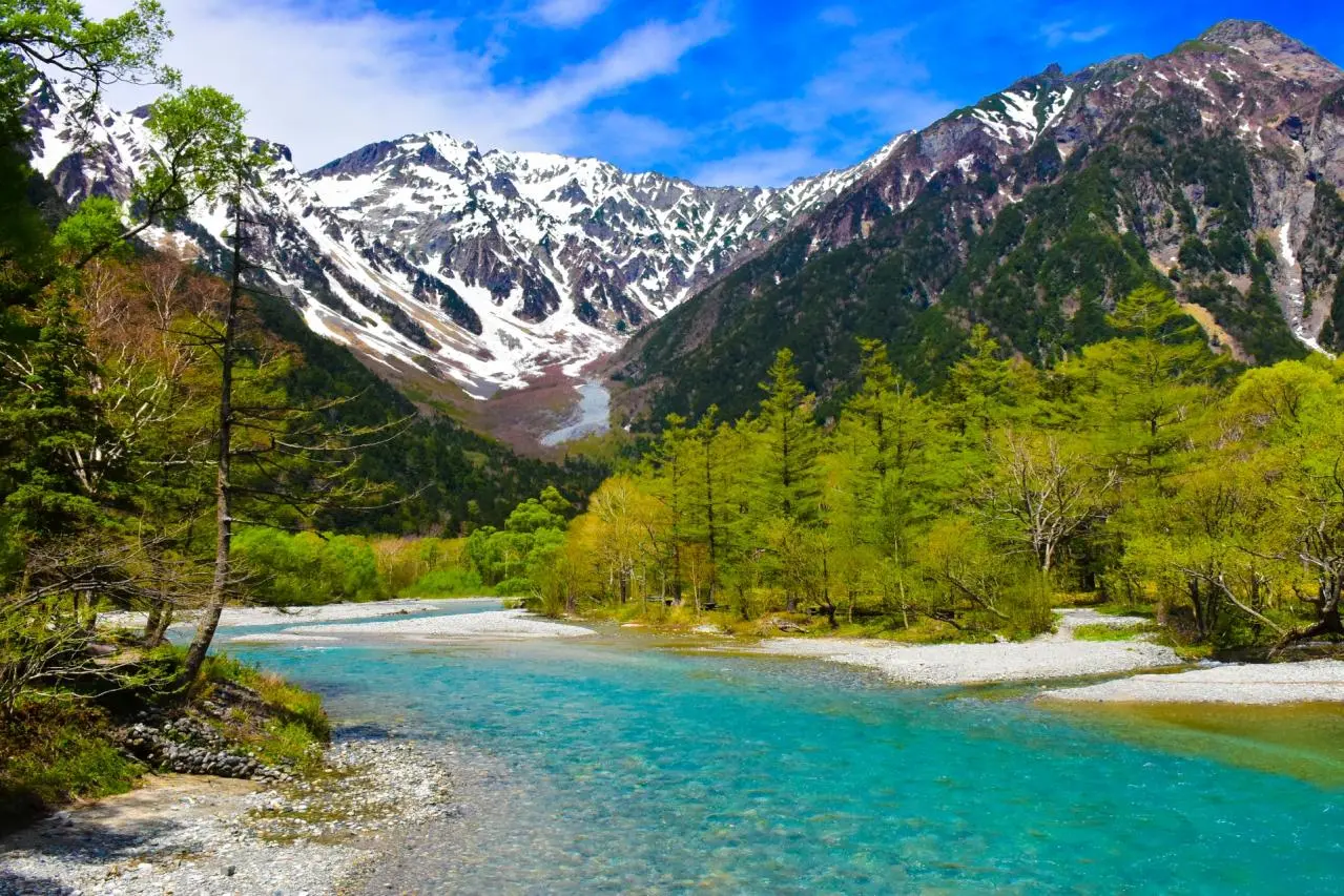
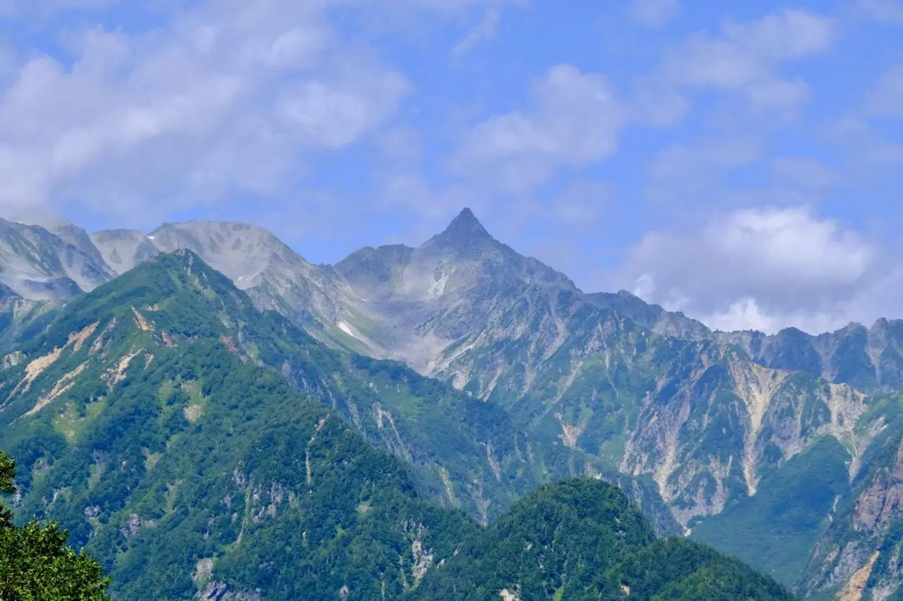
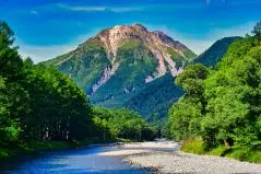
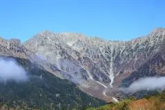
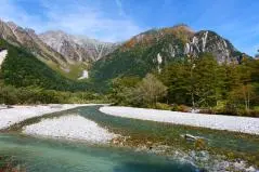
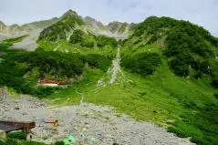
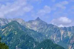
Kappa Bridge, located in the heart of Kamikochi, is its symbolic centerpiece. The current suspension bridge is the fifth to be built here, replaced in 1997, and is approximately 36 meters long and 3 meters wide. There are no records of exactly when the first bridge was built, but it is said to have originally been a drawbridge made of logs spanning the river from both banks. It became a suspension bridge in 1910. The area around the bridge is the liveliest part of Kamikochi, lined with souvenir shops, restaurants, and hotels. Looking down at the Azusa River from the bridge, you can see the green of the Keshoyanagi willow in spring and colorful autumn leaves reflected on the water’s surface, while looking up reveals the majestic Hotaka mountain range and Mt. Yakedake.
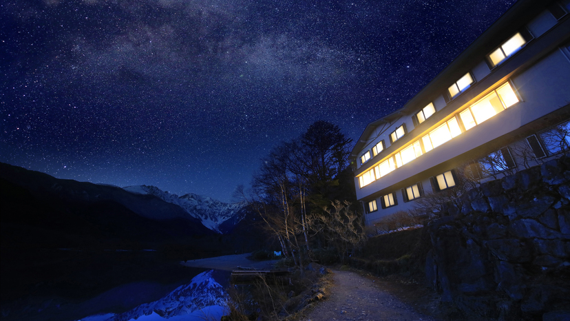
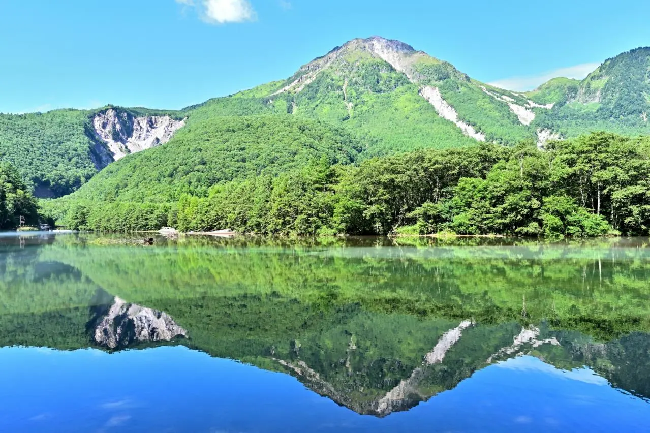
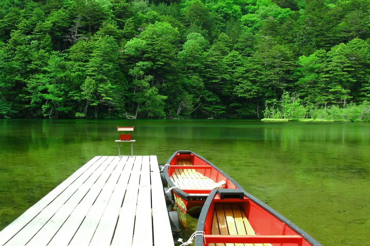
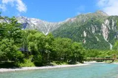
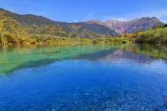
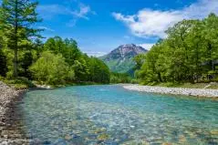
▶Taisho Pond, a mysterious pond that appeared suddenly
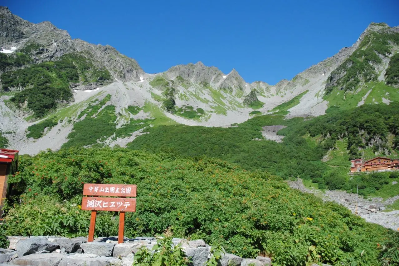
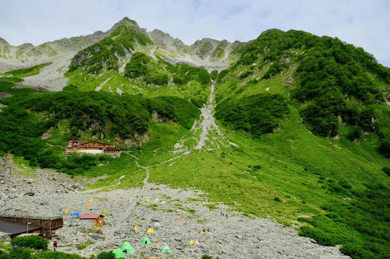
A little south of Kappa Bridge, you will find the mirror-like beauty of Taisho Pond, where the Hotaka mountain range and Mt. Yakedake are reflected on the surface. Taisho Pond shows different expressions depending on the time of day—not only in daylight, but also at dusk and early morning. After rain, mist rises, creating an ethereal atmosphere. With its expansive open sky, the area around Taisho Pond is enveloped in deep darkness at night and becomes a spot for stargazing. On clear nights, the brilliance of the stars filling the sky is a truly exquisite sight that only overnight guests can fully enjoy. In addition to renowned resort hotels such as the Kamikochi Imperial Hotel, there are also three campgrounds—Kornashi-daira Campground, Tokusawa Campground, and Yokoo Campsite—allowing visitors to enjoy a variety of travel styles.
Taisho Pond was formed in June 1915, when a massive eruption of Mt. Yakedake blocked the Azusa River with large amounts of lava and mudflow. The trees submerged at that time died standing, creating the pond’s mysterious scenery. It is also said that, at first, the lake extended as far as around Tashiro Bridge, roughly midway between Kappa Bridge and the present Taisho Pond.
▶Tashiro Pond and Tashiro Marshland, where you can feel the changing seasons
Along the Kamikochi Nature Study Trail connecting Kappa Bridge and Taisho Pond, you will find Tashiro Pond, surrounded by larch forest, where groundwater flowing from Mt. Kasumizawa and Mt. Rokkyusan emerges abundantly.
Tashiro Marshland, beyond the primeval forest, offers splendid views of the Hotaka mountain range, and many people can be seen photographing the scenery with tripods. Frost may form soon after the mountain opens for the season, but from early summer onward, fresh green leaves shine and orange renge-tsutsuji azaleas bloom. After the peak of summer passes, the colors gradually change, and in autumn the landscape is wrapped in sepia tones. In November, just before the mountain closes, frost returns and the scenery sparkles white.
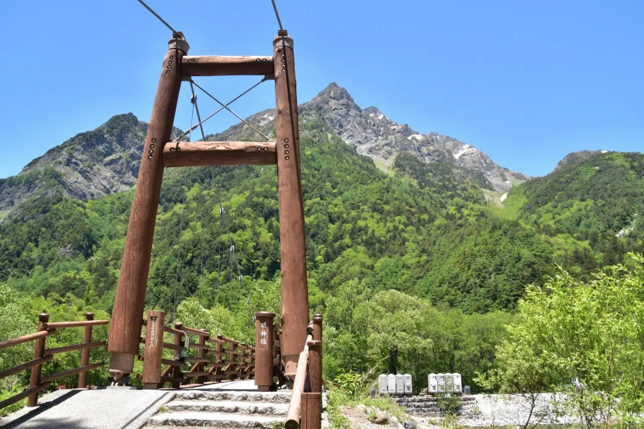
▶Myojin Pond, the sacred grounds of Hotaka Shrine, guardian deity of the Northern Alps
Myojin Pond consists of Ichino-ike and Nino-ike, connected like a gourd, and Sanno-ike, located beside the walking path. Just beyond the ponds, surrounded by coniferous trees, rises Mt. Myojin, creating a beautiful landscape.
Standing on the shore is the Inner Shrine of Hotaka Shrine. Its enshrined deity is Hotakami no Mikoto, the guardian deity of the Japanese Alps and a god who protects land and sea transportation. Worshippers who come to give thanks for the blessings of the mountains and pray for safe climbing never cease to visit. Every year on October 8, the annual festival of the Inner Shrine of Hotaka Shrine, known as the O-Fune Festival, is held as a ritual of boat purification. Priests dressed in Heian-period attire, accompanied by gagaku court music, circle the pond in two boats.
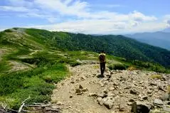
It takes about five hours to walk through Kamikochi in its entirety. For first-time visitors, walking with a professional guide is also recommended.
▶The pioneering mountaineers who praised Kamikochi to the world
Looking back on Kamikochi’s history, two names often appear: Walter Weston and Kamijo Kamonji. Weston, a British missionary, published his book Japan Alps Climbing and Exploration in 1896, introducing Kamikochi, the Hotaka mountain range, and Mt. Yari that he had climbed to the world and praising them highly. This helped transform Japanese mountaineering, which had previously been associated with worship, ascetic practice, or practical mountain travel, into a widely recognized leisure activity, and Kamikochi also became famous. For this achievement, Weston is still celebrated today as the “father of modern mountaineering in Japan.” The man who guided Weston’s mountain journeys was Kamijo Kamonji, a hunter from the local Azumi village, whose name appears in Weston’s book as “Mr. Kamonji.”
More than 60 years before these two figures, the first person to climb the mountains around Kamikochi was Banryu Shonin, a Buddhist monk from Toyama who climbed Mt. Yari. At that time, climbing was a form of mountain worship and differed from modern mountaineering. Banryu climbed Mt. Yari many times with his followers. Later, when the Meiji government hired many foreign engineers to promote modernization, British metallurgical engineer William Gowland climbed Mt. Yari in July 1877 and introduced his account in a magazine, using the expression “Japan Alps,” which became the origin of today’s term “Japanese Alps.” It was Japanese mountaineer Masao Udono who first climbed Mt. Mae-Hotaka with Kamonji. In 1916, the trail from Shimashima through Tokugo Pass to Myojin was improved so that Prince Higashikuni, later a prime minister, could climb Mt. Yari. From around this time, mountains gradually became open to mass climbing, and Kamikochi became known as a tourist destination.
▶The path of Kamikochi’s development as a mountain resort
Today, Kamikochi is a mountain scenic area visited by as many as 1.2 million tourists a year.
Its appeal lies in the fact that much of its pristine nature remains intact, making it a treasure trove of wilderness. However, its history as a resort destination is relatively short, and it was not until the Showa era that it began attracting large numbers of general tourists.
Before the Meiji era, Kamikochi was mainly frequented by lumberjacks who cut down trees. After the Meiji era began, local resident Hyojiryo Kamijo of Shimashima obtained permission and started grazing cattle and horses collected around Matsumoto in the summer over Tokugo Pass in Kamikochi. This marked the beginning of Kamikochi Farm. The pastures were located in three areas: Kornashi-daira, Myojin, and Tokusawa, with Tokusawa being especially known as Tokusawa Ranch. Against a backdrop of lingering snow on the mountains, the sight of cattle and horses grazing was cherished by hikers as a pastoral scene of a bygone era.
In June 1915, Mt. Yakedake erupted violently, and the debris flow that followed dammed the Azusa River, forming what was then named Taisho Pond. Later, in 1927, Kamikochi became the setting for literary giant Ryunosuke Akutagawa’s novel Kappa, and in the “Valley” category of Japan’s Eight Scenic Views, sponsored by newspapers in Tokyo and Osaka, Kamikochi was ranked first. Also that year, it became a topic of discussion that Prince Chichibu, the younger brother of Emperor Showa, climbed Mt. Okuhotaka from Kamikochi, and during preparatory surveys for the selection of national parks, the first Keshoyanagi willow in Japan was discovered on a Kamikochi riverbank.
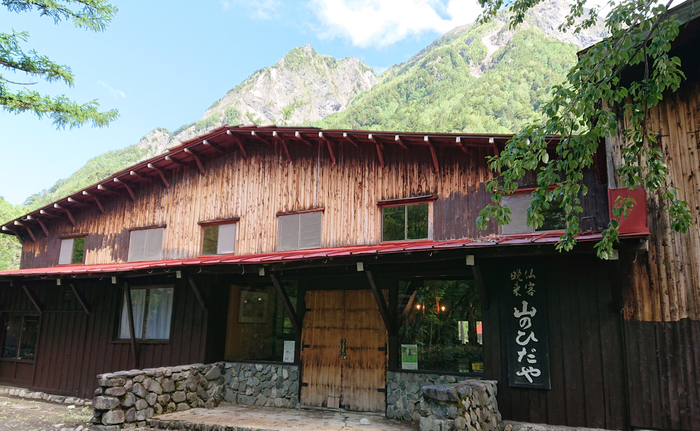
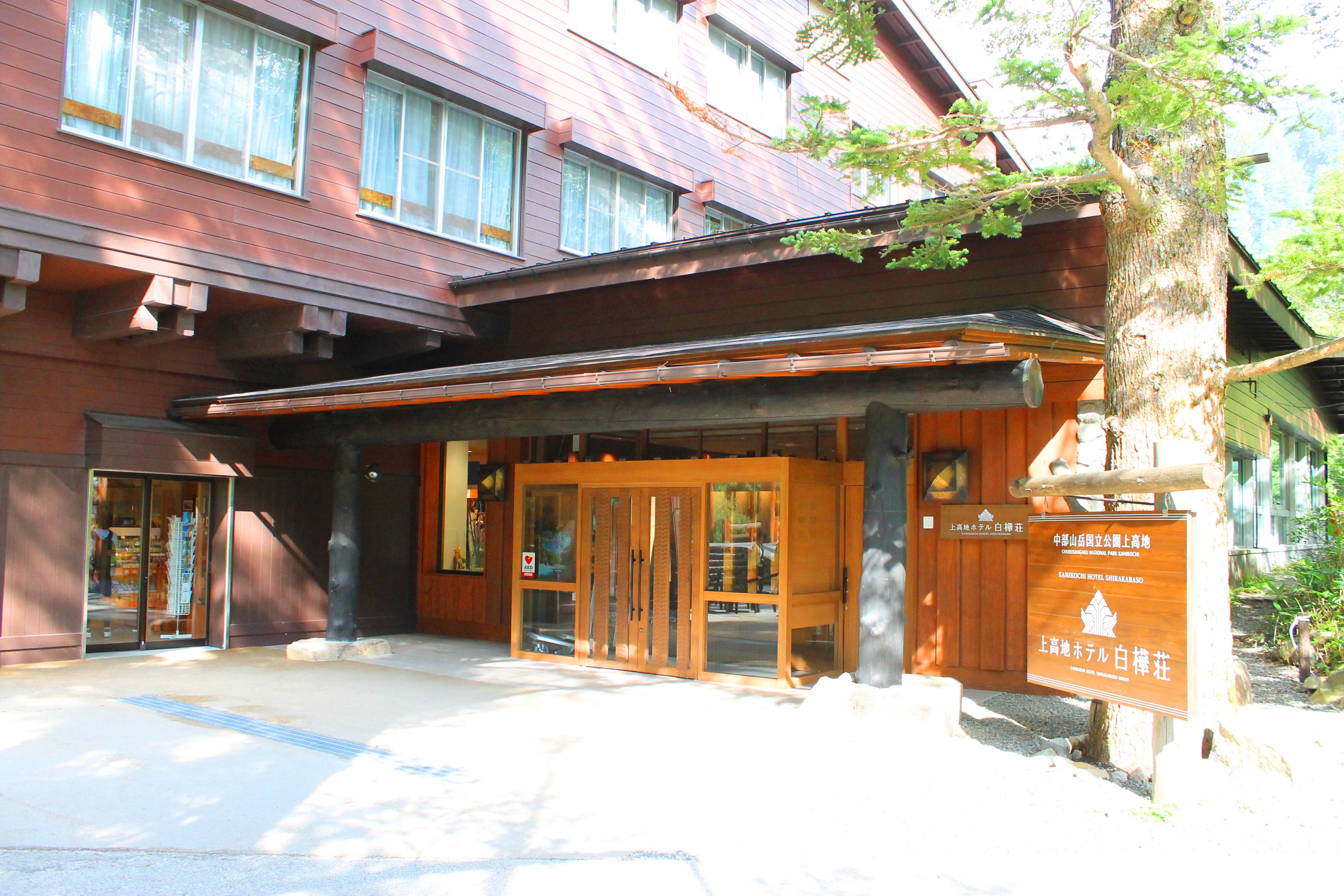
Subsequently designated both a Place of Scenic Beauty and a Natural Monument, Kamikochi also saw the opening of the Kamikochi Imperial Hotel, the first mountain resort hotel. It is said that, during construction, materials were carried through the Kama Tunnel to Taisho Pond, and from there transported by small boats across the pond to build the hotel. These events helped Kamikochi develop into a mountain resort destination.
The history of Kamikochi is also one of seeking coexistence and harmony between nature and humanity. During the tourism boom, there were concerns that the natural environment would be damaged, and various efforts were made in response.
One representative measure is the restriction on private vehicles on the Kamikochi Park Line prefectural road. By minimizing the impact of automobile exhaust, the natural environment was preserved, allowing the area to remain beloved by many people in the future.
In addition, the national park that manages Kamikochi was established for the purposes of nature conservation and regional development, and these efforts continue. For example, hiking routes have been maintained, mountain lodges operated, and restrooms improved, creating a comfortable environment for visitors to Kamikochi.
Through a variety of efforts to achieve coexistence and harmony between nature and humanity, Kamikochi remains a place beloved by many people today.
▶Kamikochi, a landscape we want to preserve for the next generation and for our children
A landscape unique to Kamikochi—one that can be seen only in Kamikochi. The awareness of nature conservation in Kamikochi had already taken root more than 100 years ago.
The first nature conservation measures in Kamikochi began in 1909. The collection and protection of alpine plants had already been prohibited, and in addition to protection measures, larch trees were planted around the Kamikochi Bus Terminal and Kornashi-daira over a period of about 10 years starting in 1915.
The rock ptarmigan, Japanese serow, and char were successively banned from capture and designated Natural Monuments. The entire Kamikochi area was also designated a Natural Monument and National Park. Many local residents in Kamikochi launched the “Society to Beautify Kamikochi” in 1963, and every day they carry out litter-picking activities around the roads in their efforts to make Kamikochi beautiful and free of trash.
Let us pass Kamikochi’s nature on to the next generation. Preserving for our children the irreplaceable, unparalleled gift of nature is the mission of each and every one of us. With the love of every visitor, let us protect Kamikochi.
▶Kamikochi, rare in Japan, with two distinguished designations
Both Kurobe Gorge and Kamikochi are among the most beautiful natural landscapes in Japan, and in order to protect their natural environment and cultural value, they have been designated both a “Special Place of Scenic Beauty” and a “Special Natural Monument.” This designation is a system established by the national government to protect the natural and cultural heritage of an area, and it is based on Japan’s Law for the Protection of Cultural Properties. Areas receiving such designation are open to the general public, but there may also be restrictions or regulations on access for protection purposes.
Kamikochi Movies


Nagano Tourist Attractions
View List
Senjōji Kōdō
Senjojiki Cirque is a bowl-shaped landform formed by glacial erosion, located at Komagatake in the Central Alps. From the "Senjojiki" station at an elevation of 2,61...

Togakushi Shrine
The highly popular power spot "Togakushi Shrine" consists of five historic shrines: Okusha, Nakasha, Hobokusha, Kuzuryu Shrine, and Hi no Mikokami Shrine. Togakushi ...

Matsumoto Castle
Matsumoto Castle is one of Japan's five great castles and is designated as a national treasure, a gem of historical architecture. Alongside Himeji Castle, Hikone Cas...

Jigokudani Yaenkoen
Jigokudani Monkey Park is located in the northern part of Nagano Prefecture within the Joshinetsu Kogen National Park, at an elevation of 850 meters in a harsh envir...

Ueda Castle
Ueda Castle, located in Ueda City, Nagano Prefecture, is a historic castle built by Sanada Masayuki. It gained fame for repelling the Tokugawa forces during the Firs...


Utsukushigahara
Utsukushigahara Plateau is an expansive highland that stretches approximately 2,000 meters above sea level and is located in Matsumoto City, Nagano Prefecture. Durin...

Tsumagoshuku
Tsumago-juku is a post town located in Nagano Prefecture along the Nakasendo, and it is the 42nd of the 69 stations connecting Edo and Kyoto. With Ise Mountain to th...