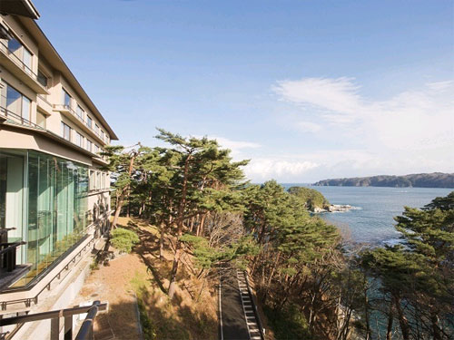
Jodogahama Beach
The name Jodogahama is said to have been given in the late 17th century during the Tenwa era (1681-1683) by Zen Master Ryuko, the seventh head priest of the Miyakozan Jonan Temple, who exclaimed that the place resembled the Pure Land of Paradise. The white rocks were formed approximately 52 million years ago, making this area geologically significant.
In summer, the beach becomes lively with bathers and has been selected as one of Japan's top 100 beautiful swimming beaches and one of the 88 best bathing areas. The prefectural tree of Iwate, the Nambu Akamatsu, grows lushly on the rocks, adding to the picturesque garden-like atmosphere.
The poet Kenji Miyazawa once visited and was inspired to compose poetry celebrating its beauty. Jodogahama is one of Japan's proud scenic spots that is unforgettable after a single visit. Not to be missed are the views of Oku Jodogahama from sightseeing boats and the "Blue Cave," which is believed to grant wishes.
Once a hidden gem rarely visited by people, this location's beauty is now widely recognized, allowing many to experience its serene and beautiful environment akin to a paradise. The awe expressed by the monk who named this place resonates with visitors, evoking a sense of shared appreciation.
Basic Information
- Spot Name
- Jodogahama Beach
- Location
- 32 Hitachihama-cho, Miyako City, Iwate Prefecture, Japan
- Access
- 【By Car】
10 minutes from Miyako Station
<From Kuji> 10 minutes from Sanriku Expressway Miyako Kita IC
<From Kamaishi> 8 minutes from Miyako Kō IC on Miyako Morioka Crossing Road
<From Morioka> 120 minutes from Tohoku Expressway Morioka Minami IC
*15-minute walk from Parking Lots 1 to 4
【By Bus】
20 minutes from Miyako Station (towards Oku Jōdogahama), get off at "Oku Jōdogahama" bus stop
13 minutes from Miyako Station (towards Miyako Hospital), get off at "Jōdogahama Visitor Center" bus stop, then walk for 15 minutes - Parking
- Parking Lot 1: 109 cars, 7 buses, 2 disabled parking spaces
Parking Lot 2: 128 cars
Parking Lot 3: 118 cars
Parking Lot 4: 58 cars
Jodogahama Rest House Rear Parking Lot*: 21 cars, 5 buses, 2 disabled parking spaces
*From April 1 to October 31, a permit is required for entry. For details, please refer to the notice regarding vehicle entry regulations within Jodogahama Park. - Contact Information
- Phone Number: 0193-62-2111 産業振興部観光課
- Official Website
Map
Detailed Information
Jōdogahama is a representative scenic spot in the Sanriku Reconstruction National Park. It is a renowned place that many wish to visit not just once but multiple times, as it is said to have been admired by Kenji Miyazawa. It is believed to have been formed around 52 million years ago during the Paleogene period (the era following the Cretaceous period). The white rocks and pebbles made from volcanic rock create a cove that is sheltered from the open sea, resulting in calm waves. During the swimming season, it attracts many visitors and is a popular spot featured in selections such as "88 Bathing Spots in Japan" and "100 Excellent Bathing Spots in Japan (Special Selections of the Sea)."
On the rocks, you can find evergreen trees such as the "Nanbu Akamatsu," which is also the prefectural tree of Iwate Prefecture. The contrast between the white rock surface and the greenery creates a beauty reminiscent of a Japanese garden. The name Jōdogahama is said to have been given by the seventh-generation monk of Jōanji Temple in Miyako, who was inspired by the scenery in front of him, exclaiming it resembled the Pure Land of Paradise during the Tenwa era (1681-1683). Kenji Miyazawa even visited Jōdogahama in July 1917 and composed the poem, "The beautiful sea, the velvet kelp, is spread on the shores of bliss."
Did you know that there are spots called "Koji-na" from which you can view Jōdogahama from the seaside? Here are some traditional Koji-na names, including Benkei's handprint and Koyasu Jizō.
Kuwagata: This place is said to be the origin of the name Kuwaezaki. The rock fault above "Kuwagata" resembles the blade of a black hoe, which is how it got its name.
Hachinohe Hole: Located near the embankment and right behind the tourist boat dock, it cannot be seen directly. In "Oku-Ou Fudoki Vol. 5," written by Tsunehisa Esashi in 1892, it states, "This hole connects to Hachinohe, where there is a 'Miyako Cave.'” Upon investigation, it was found that there was a cave called "Hei Cave" in Hachinohe, which unfortunately has been lost due to mining activities.
Odaiba: There is also an "Odaiba" in Jōdogahama. It is named as such because a cannon was stationed here during the Boshin War when government forces fought against the former shogunate army. It was formerly known as Anazaki. A memorial to the Battle of Miyako Port is located at the entrance to the Odaiba observation deck, just a minute's walk from the first parking lot, commemorating the fierce battle.
Sainokawara: Situated in the cove at the entrance of Koyasu Jizō, this area features a natural stone embankment that prevents small stones and sand from flowing away, resembling a riverbed, which likely inspired its name.
Shio-kake: Located at the tip of a peninsula, Shio-kake is one of the landmarks for determining when to start fishing. If there are white waves here, it indicates that the sea is rough, and fishing is canceled.
Blood Pond: After exiting the stony corridor on the cliffs leading to the heavy Mo Peninsula from the neighboring cove along Sainokawara, you will find a space with a dim atmosphere, which perhaps inspired this place's name. Currently, the entire area of Jōdogahama has been designated as a special area, and access is not permitted.
Koyasu Jizō: Koyasu Jizō is a deity worshipped by locals for health and bountiful catches. People come here with small stones from Sainokawara to pray, which is why they refer to it as "the Jizō of Sainokawara."
Senjōjiki: This rocky area is located behind the sanctuary where Koyasu Jizō is enshrined, at the bottom of a sheer cliff. It appears to extend as far as a thousand tatami mats. There is also a flat rock surface spreading to the right.
Ebōshi (Eboshi) Rock: Unlike the other white rocks, this rock is solely black, resembling a traditional eboshi (a type of cap) in its name. From the land side, its shape is said to be unimaginable.
Byōbū Rock: This rock formation appears like a folding screen due to the vertically aligned rocks, which is how it got its name. Beyond Byōbū Rock lies "Tako-no-Hama."
Taka Rock & Taka-no-Su: This island in the small lake of Jōdogahama is named because three opened-mouthed hawks can be seen atop it. It is also known as "Taka's Beak." From the lower left of this rock, seawater flows into the small lake, circulating the clean seawater of Jōdogahama.
Toishi Beach and Kenzan: This area was known as the dock of the sightseeing boat "Chikuchū-maru" until around 1980. The rocks, resembling whetstones, extending toward the Kenzan mountain range in front has become one of the viewpoints of Jōdogahama.
Benkei Handprint: When viewed from the seaside behind the Jōdogahama Rest House's mountain, a human hand's back and the lines on it can be seen from the left side of the rock's summit. The name likely refers to Benkei, who was a symbol of large stature.
Jodogahama Beach Movies
Iwate Tourist Attractions
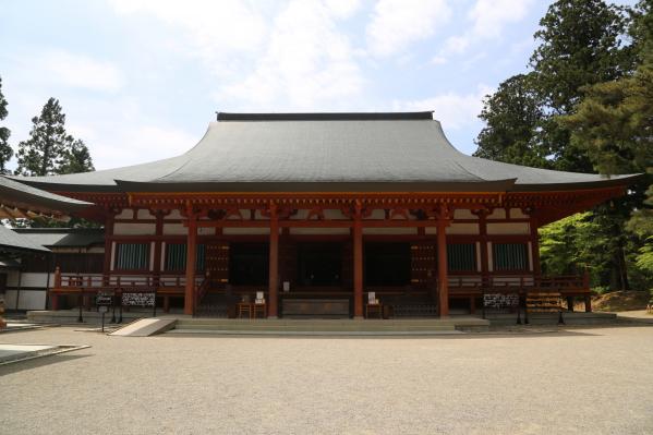
View ListMotsu-ji Temple
Moeji Temple is a unique temple that is designated as both a World Heritage Site and as a special historic site and special scenic spot by the Japanese government, a...
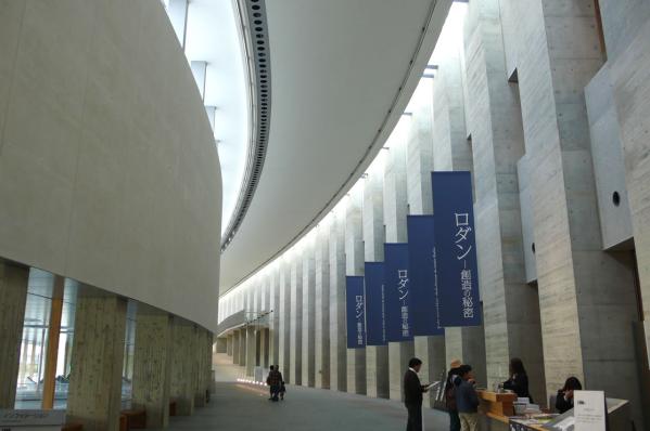
Iwate Prefectural Museum of Art
The Iwate Prefectural Museum of Art was opened in 2001 in the new cultural zone of Central Park in Morioka City. The museum's collection focuses on works by local ar...
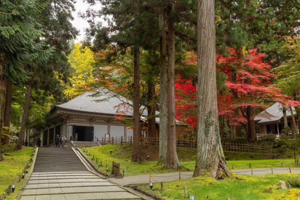
Chuson-ji Temple
Chuson-ji Temple was founded in 850 by the high priest Jikaku Daishi Ennin and had large-scale structures built by Kiyohira, the first ruler of the Oshu Fujiwara cla...
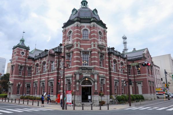
Iwate Bank Red Brick Building
The Iwate Bank Red Brick Building was established in 1911 as the main branch of Morioka Bank. This beautiful red brick structure was designed by the architectural fi...
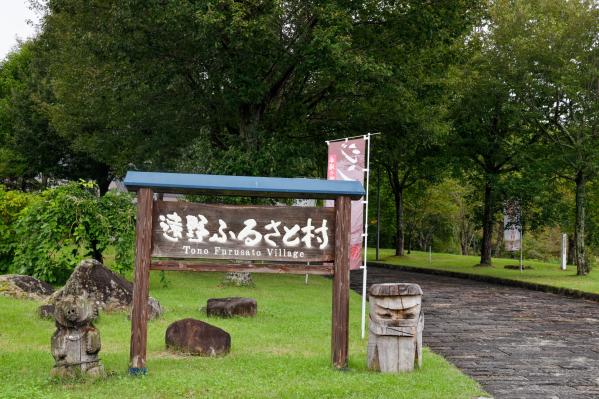
Tono Furusato Village
Tono Furusato Village is a wonderful place where nostalgic rural landscapes unfold. It has recreated an old-fashioned village by relocating traditional curved houses...
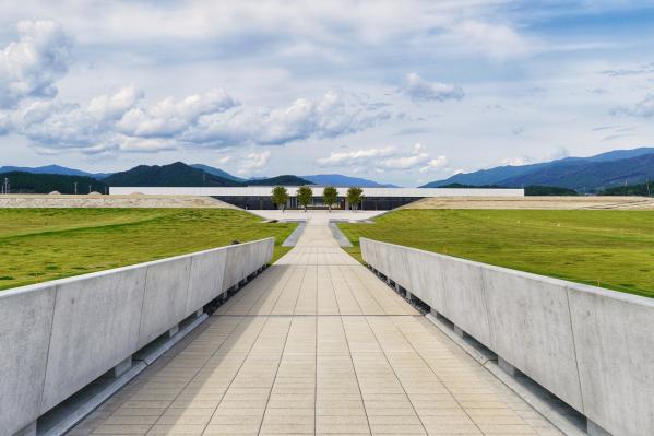
Iwate Tsunami Memorial Museum (Higashi-Nihon Daishinsai Tsunami Densho-kan)
The Iwate Tsunami Memorial, located within the Takada Matsubara Tsunami Restoration Memorial Park in Iwate Prefecture, opened on September 22, 2019. This facility ai...
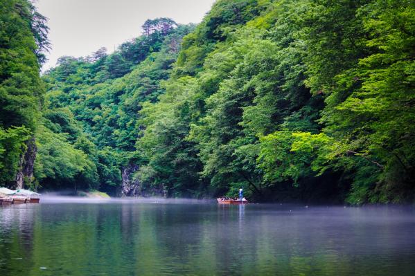
Geibikei Gorge
Geibikei is a beautiful gorge selected as one of Japan's top 100 scenery spots, featuring approximately 2 kilometers of cliffs that rise around 100 meters on both si...
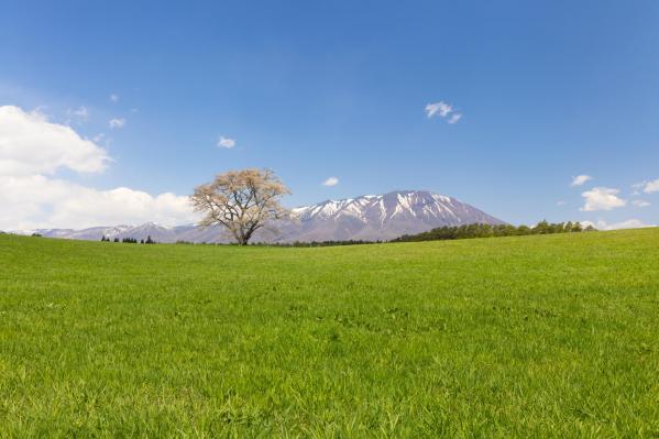
Koiwai Farm Makibaen
Koiwai Farm Makiba Park is one of Japan’s largest private comprehensive farms, boasting a history of over 130 years since its establishment in 1891. Covering an area...


