


Cape Soya
Basic Information
- Spot Name
- Cape Soya
- Location
- 〒098-6758 Soya Cape, Wakkanai City, Hokkaido
- Access
- From the NishiWakkanai Station Bus Terminal, take the Soya Bus Tekkou-Souya Cape Line for about 50 minutes. Get off at the bus stop: Souya Cape, and it’s a short walk.
By car: From the Doto Daisetsu Kembuchi IC, take National Routes 40 and 238 for 230 km, approximately 4 hours. - Parking
- Parking available for 72 cars.
- Business Hours
- No information available.
- Contact Information
- Phone Number:0162-23-6468(稚内市役所建設産業部観光交流課)
- Official Website
Map
Detailed Information
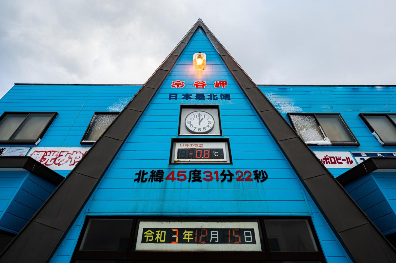
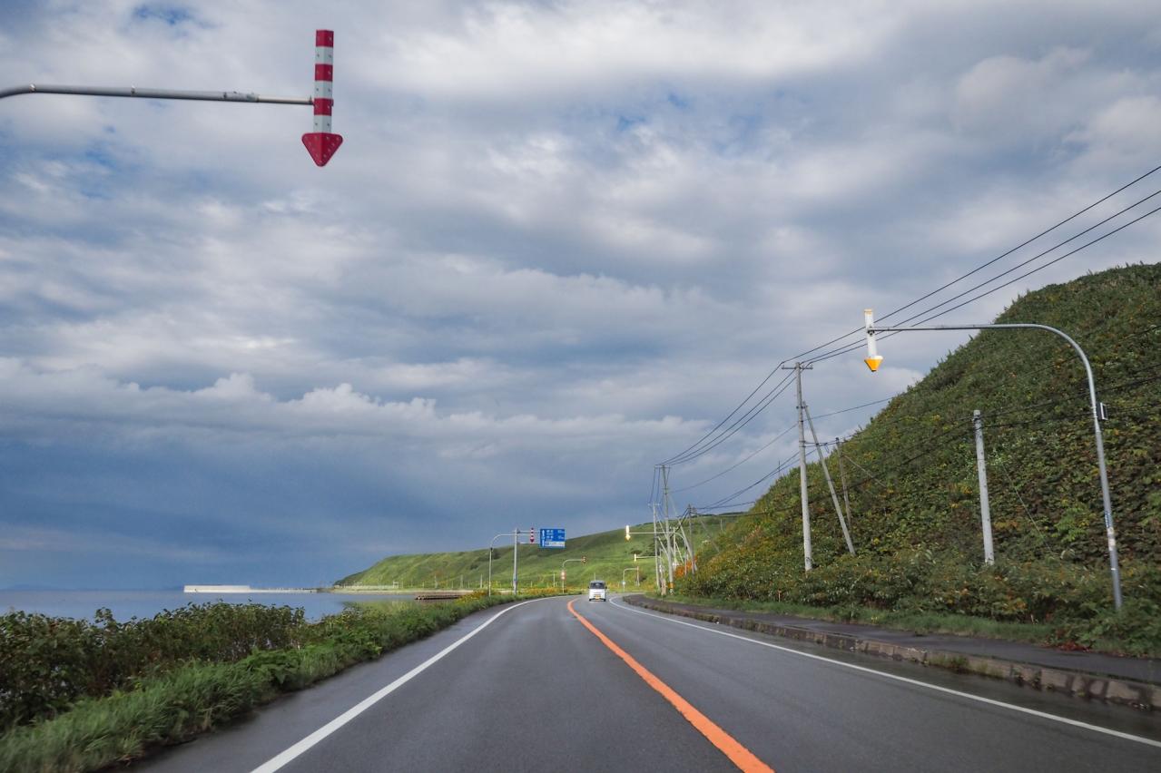
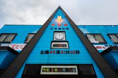
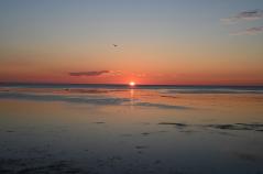
Cape Soya is a cape located at the northernmost tip of Hokkaido’s main island, at 45°31′22″ north latitude. Situated about 30 kilometers northeast of central Wakkanai, it is known as the “land’s end” of mainland Japan. On a clear day, visitors can see Sakhalin, a Russian territory, just 43 kilometers beyond the cape, creating a landscape filled with an exotic atmosphere.
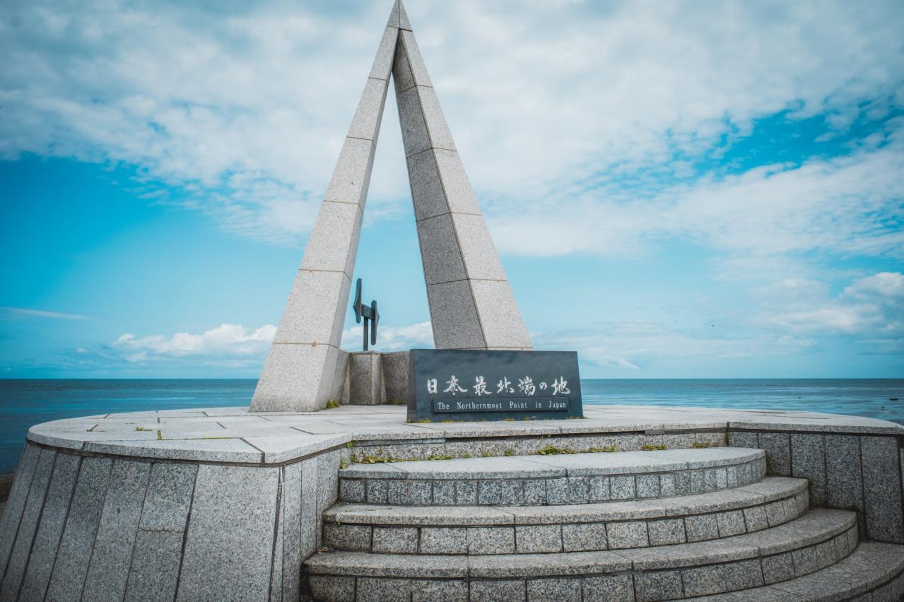
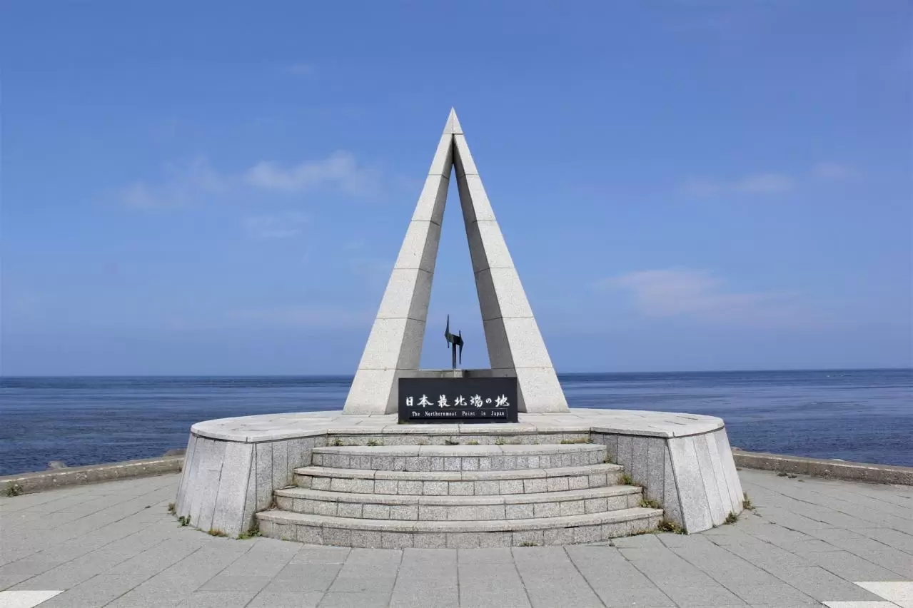
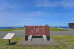
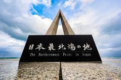
“The Monument at Japan’s Northernmost Point”
One of the symbols of Cape Soya is the “Monument at the Northernmost Point of Mainland Japan.” This monument is a triangular pyramid-shaped structure inspired by one of the spokes of the North Star, with the letter “N” for north engraved in its center. The circular base symbolizes peace and harmony, and it is also a very popular spot for commemorative photos.
As a souvenir of their visit, many tourists purchase a “Certificate of Arrival at Japan’s Northernmost Point,” which bears the date and time, sold at nearby souvenir shops.
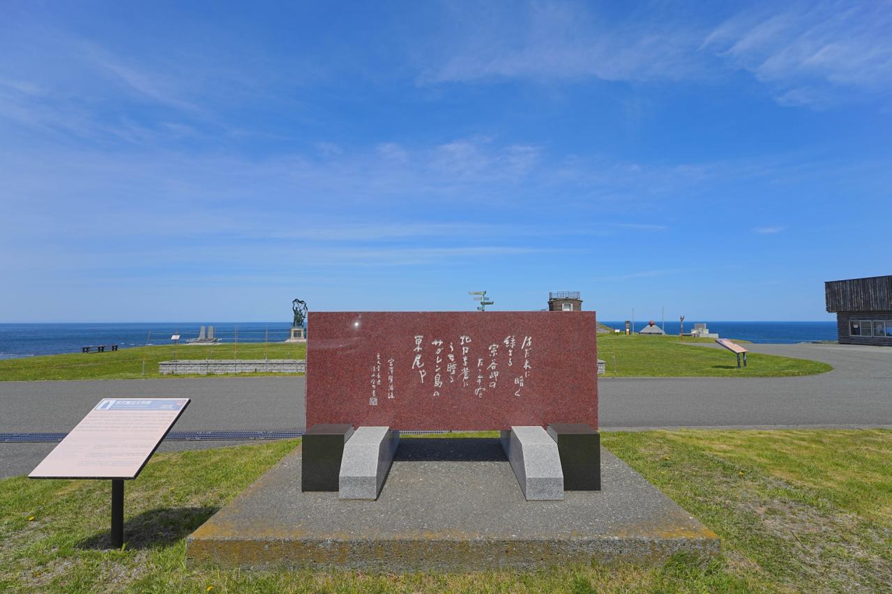
The Statue of Rinzo Mamiya and Historical Monuments
Near the monument stands a statue of Rinzo Mamiya, the explorer who discovered the Mamiya Strait between Sakhalin and the Eurasian continent during the Edo period. Honoring his achievements, this statue is one of the symbols of Cape Soya and holds great historical significance.
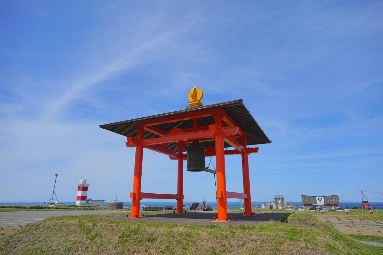
In addition, throughout the Cape Soya area, there are monuments such as the former Naval Lookout Tower and the Tower of Prayer, which convey the history of war and borders to the present day. At Cape Soya Park, visitors can see a variety of facilities imbued with a wish for peace.
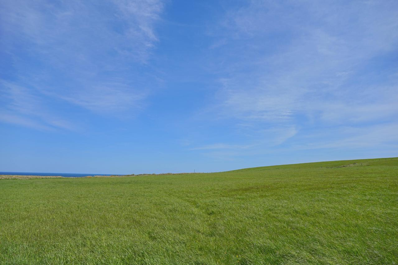
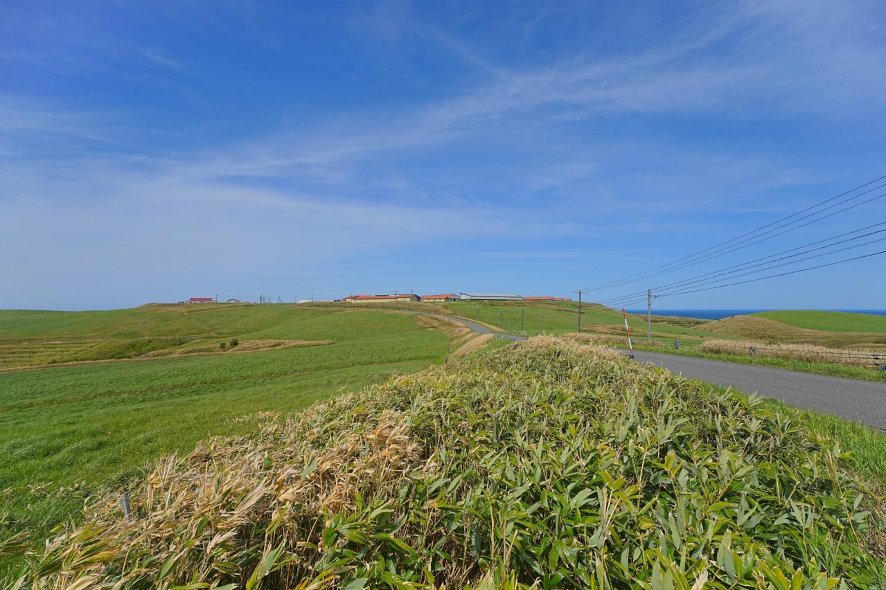
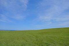
The Soya Hills and Natural Attractions
Stretching behind Cape Soya, the Soya Hills are a beautiful hilly region characterized by periglacial landforms formed during the Ice Age about 10,000 years ago. This landscape was designated a Hokkaido Heritage site in 2004.
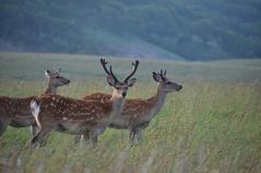
The hills feature gentle undulations and are also known as a treasure trove of nature, where many alpine plants bloom in summer. Even in summer, temperatures average around a cool 20°C, and you may need a jacket at night. This cool climate nurtures the rare vegetation unique to Soya.
The Seasons of Cape Soya and Tourism
Cape Soya is a tourist destination that can be visited year-round, but it is especially popular in summer, when the mild climate and clear air make it possible to see Sakhalin in the distance.
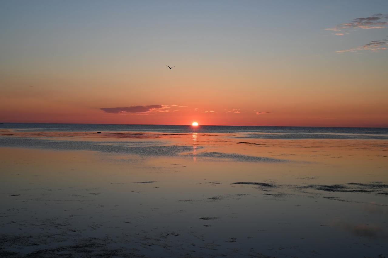
In winter, however, it is wrapped in severe cold, offering a season in which visitors can feel the quietness and grandeur of nature. Drift ice occasionally reaches the area around Cape Soya, providing a dramatic sight for those who visit. In recent years, more travelers have been coming in search of the crisp winter scenery.
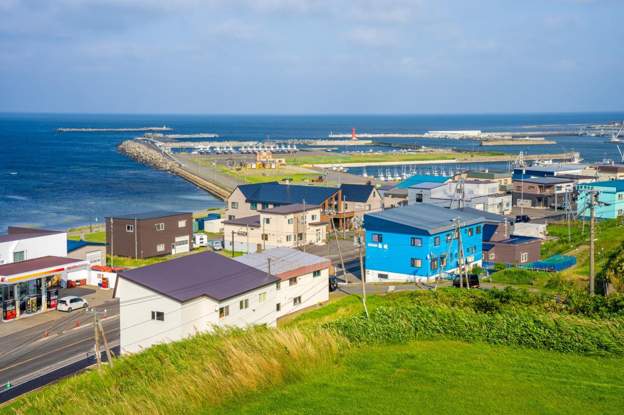
The Appeal of Wakkanai and the Surrounding Area
Wakkanai City, home to Cape Soya, was once known as a city symbolizing friendship between Japan and Russia. Even today, traces of that history remain. Blessed with rich fishing grounds, the region yields abundant fresh seafood, offering visitors a delightful culinary experience.
In the surrounding area, including Rishiri Island and Rebun Island, visitors can enjoy birdwatching, nature experiences, and seasonal flowers, allowing them to feel Hokkaido’s vast natural beauty up close.
Cape Soya Movies
![往復10時間の、日本最北端を目指す旅!(春の北海道旅1)[とくちゃん、いいモノ探し]](https://i.ytimg.com/vi/BDCDmqjHV30/mqdefault.jpg)


Hokkaido Tourist Attractions
View List
Otaru Sakaimachi Street
Otaru Sakaimachi Street is the main street for sightseeing in Otaru, located just a 5-minute walk from Otaru Canal. Lined with historical buildings constructed from ...

Sapporo Moiwa Mountain Ropeway
Mount Moiwa, easily accessible from the center of Sapporo at an elevation of 531 meters, is a popular spot where visitors can reach the summit via a combination of a...

Shiroi Koibito Park
"Shiroi Koibito Park" is located in Sapporo and is a chocolate entertainment facility that can be enjoyed by both adults and children. Visitors can observe the produ...

Shirogane Blue Pond
"The Shirogane Blue Pond" is a representative tourist spot of Biei, possessing a beauty that feels like another world. This pond is an artificial lake created during...

Otaru Canal
Otaru Canal was created to assist the logistics of Otaru Port, which was an important gateway for the development of Hokkaido. Completed in 1923, this canal is speci...

Nijo Market
Nijo Market in Sapporo boasts a history of over 125 years, beginning in the early Meiji era when fishermen from Ishikari Bay started selling fresh fish. Serving as t...

Asahiyama Zoo in Asahikawa
Asahiyama Zoo in Asahikawa City is a representative tourist spot in Hokkaido, which opened in 1967. Known as the northernmost zoo in Japan, it is famous for many inn...

Abashiri Prison Museum
The Abashiri Prison Museum is the only prison museum in Japan, exhibiting the former Abashiri Prison's cell blocks, chapel, and administration building. The premises...