Hyugamisaki Umagase
Hyugamisaki Umagase Movies
![日向岬・馬ヶ背・クルスの海【細島灯台】宮崎県 70mの断崖絶壁 Cape Hyuga/Umagase Cross cliff [Hososhima] Miyazaki Japan](https://i.ytimg.com/vi/K47st7DKghA/mqdefault.jpg)


Basic Information
- Spot Name
- Hyugamisaki Umagase
- Location
- 〒883-0001 1-1 Hososhima, Hyuga City, Miyazaki Prefecture, Japan
- Access
- Approximately 1 hour and 20 minutes by car from Miyazaki Airport
Approximately 1 hour and 15 minutes by car from JR Miyazaki Station
Approximately 15 minutes by car from JR Hyuga City Station
Approximately 14 minutes by car from Hyuga IC on the Eastern Kyushu Expressway - Parking
- 70 cars
- Business Hours
- Open for visitors.
- Contact Information
- Phone Number: 0982-54-6177
- Official Website
Map
Detailed Information
Hyuga Cape and Umagase are scenic destinations in Hososhima, Hyuga City, Miyazaki Prefecture, where dramatic cliffs meet the blue sea. Hyuga Cape lies at the southern end of the Nippo-Kaigan Quasi-National Park and is characterized by its intricately winding coastline and rock walls that resemble bundles of columns. Tourist guides describe it as a ria coastline approximately 5 kilometers long. Among its many attractions, Umagase is one of Hyuga City’s most spectacular viewpoints, offering dramatic cliffs and sweeping views of the Pacific Ocean from the tip of the cape.
The name “Umagase” is said to come from the cape’s resemblance to a horse’s back when viewed from the sea. Although its overall shape looks different when seen from land, visitors can experience the long, narrow landform projecting into the sea and observe the undulating rock walls up close. The main attractions are the lookout overlooking the cliffs and the Hyuga Cape Observatory at the end of the walking trail. Each offers a different direction and range of views, allowing visitors to enjoy two strikingly different landscapes during a single walk.
One feature essential to understanding the natural environment here is columnar jointing. This refers to a structure in which regular cracks form in rock, dividing it into pillar-like shapes. At Hyuga Cape, rock surfaces resembling rows of slender columns appear along the coastline. From a distance, they look like a massive wall, but on closer inspection, individual columns and cracks become visible. The astonishing regularity, which can appear almost artificially arranged, was created entirely by natural forces.
The rocks of Hyuga Cape originated from large-scale volcanic activity approximately 15 million years ago. They consist primarily of welded tuff, formed when deposits from pyroclastic flows were welded together by intense heat and their own weight. As the rock cooled, it contracted, and columnar joints with square to hexagonal cross-sections developed. Later, wave erosion and rock collapses shaped the intricate coastline and cliffs seen today. It is a place where visitors can observe both the rocks left behind by volcanic activity and the landforms carved by the sea.
This landscape is highly valued not only for its beauty but also for its geological significance. On February 13, 2018, it was designated a Natural Monument of Japan under the name “Columnar Jointing of Hyuga Cape.” Explanations issued by the cultural heritage authorities describe a complex coastline featuring columnar jointing that extends approximately 4.5 kilometers from the eastern tip of the Hososhima Peninsula to Isegahama Beach. Its academic value lies in the clear exposure of the remains of a massive eruption and the opportunity to study the relationship between rock formations and coastal erosion.
When looking out over the cliffs of Umagase, visitors can see a seawater channel cutting deeply between the rocks. According to information provided by Hyuga City, the fissure in the rocks at Umagase is approximately 50 meters high, 10 meters wide, and 200 meters deep. Waves surge into the narrow space and crash against the rocks, breaking into white foam with tremendous force. When the water recedes, the rock surfaces and water become visible; when the next wave arrives, the scene changes once again. The opportunity to experience the constantly moving sea together with the towering rock walls is one of the area’s special attractions.
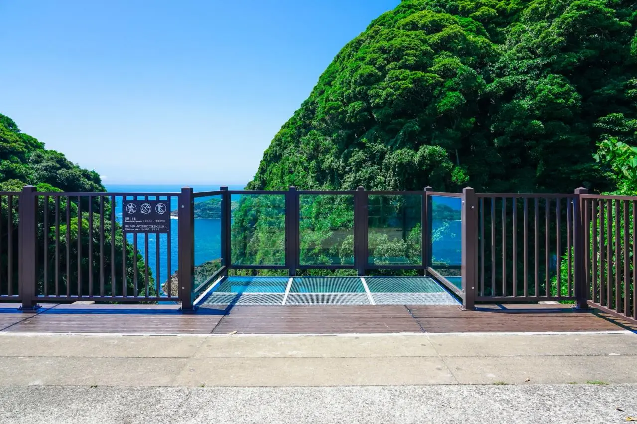
The glass-walled, projecting observation deck called “Sukeruccha!” offers an even closer view of the cliffs. It was developed in 2022, and its nickname was announced on April 15 of the same year. Extending out toward the sea, the deck allows visitors to look down through the glass at the cliffs and ocean below, creating a powerful sense of height and depth. Unlike viewing the rock walls from the side, visitors can observe the landscape from a position standing directly above it. The deck offers a vivid impression of the scale of nature and the depth of the open space beneath one’s feet.
At Sukeruccha!, be sure to look not only at the sea below but also at the rock wall opposite the deck. Vertical columnar joints and cracks carved into the rock emphasize the three-dimensional character of the cliffs. Viewing the waves and rock walls together makes it easier to imagine how the coastline has been gradually worn away over a long period of time. Visitors who are uncomfortable with heights should not feel obliged to go all the way to the edge; instead, they should choose a spot from which they can enjoy the view comfortably. Please be considerate of other visitors and take turns enjoying the scenery.
After walking along the trail for approximately two minutes from the cliff lookout, visitors arrive at the Hyuga Cape Observatory at the tip of the cape. Here, the impression changes from a view looking down into the rocky fissure to a broad panorama of the Pacific Ocean. The sea and sky stretch out before you, with the distant horizon extending far into the distance. Unlike the lookout where the height of the cliffs can feel overwhelming, this is an open observatory that conveys the vastness of the ocean. Visiting both observation points allows visitors to appreciate the dramatic power of Umagase and the grandeur of Hyuga Cape in turn.
The walk to the observation points is itself an opportunity to enjoy nature. As you follow the trail surrounded by trees and then encounter the sea where the view suddenly opens up, the vastness of the landscape feels even more striking. According to Miyazaki Prefecture’s tourism information, the distance from the parking lot in front of Umagase Chaya to the observatory at the tip of the cape is approximately 540 meters, taking about 10 minutes on foot. Some sections are steep, so comfortable walking shoes are recommended. Allow plenty of time not only for the round trip but also for stopping and taking in the views at the observation points.
Visitors can also extend their trip to Hososhima Lighthouse. Standing against the blue sea and sky, the white lighthouse creates a very different impression from the rugged rock walls. According to the Hyuga City Tourism Association, a red-brick lighthouse was built here in 1910, and it was rebuilt in its present form in 1941. Because it is connected to the Umagase walking trail, it can be visited as part of the same stroll. After seeing the natural formations, looking out at the lighthouse may also prompt reflection on the relationship between this coastline and maritime navigation.
Another representative nearby attraction is “The Sea of Crosses Where Wishes Come True.” Sea water flows into a fissure in the reef, and from the observation point the shape resembles a cross, which is why it is known by the Portuguese word “cruz,” meaning “cross.” When the cross-shaped opening is viewed together with the adjacent rocks, the shape is said to resemble the Japanese character “叶,” meaning “to come true.” This association gave rise to the legend that wishes made here will be fulfilled. The observation point also features the “Bell of the Sea of Crosses Where Wishes Come True,” making it a popular place where visitors connect their wishes with the natural formations.
Although Umagase and the Sea of Crosses are both located around Hyuga Cape, they offer different forms of coastal beauty. At Umagase, the deep seawater channel and towering rock walls leave the strongest impression. At the Sea of Crosses, attention is drawn to the shape of the fissure as seen from above. According to explanations of Hyuga City’s cultural heritage, the indented landform at the Sea of Crosses is thought to have formed as erosion progressed along faults that developed within the rock mass. Comparing the two landscapes makes it possible to appreciate how the structure of the rocks influences the shape of the coastline.
The changing impressions of the sea and rocks depending on the time of day and weather are another part of the appeal. On sunny days, the contrast between the blue sea and white waves stands out, while on cloudy days, the subdued colors and shapes of the rock walls draw greater attention. When taking photographs, try both compositions that capture the details of the cliffs and compositions that include broad expanses of sea and sky. However, the wind can become strong around the cape, so it is important to remain inside the safety railings and follow local instructions while exploring.
According to information from the Hyuga City Tourism Association, access takes approximately 15 minutes by car from JR Hyuga-shi Station and about 14 minutes from the Hyuga Interchange on the East Kyushu Expressway. A free parking lot and restrooms are available in front of Umagase Chaya. A recommended itinerary is to first experience the columnar joints and the power of the waves at the cliff lookout, then admire the horizon from the tip of the cape, and, if time permits, continue on to Hososhima Lighthouse or the Sea of Crosses. Walking through this landscape shaped by volcanoes and the sea allows visitors to experience the natural beauty of Hyuga Cape and Umagase more intimately.
Miyazaki Tourist Attractions
View List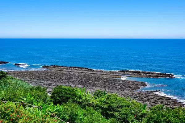
Nichinan Coast
The Nichinankai Coast is a scenic coastline that stretches approximately 100 km, representing Miyazaki Prefecture. It extends from Miyazaki City to Nichinan City and...
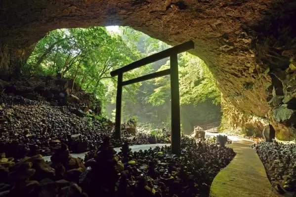
Amanoyasukawara
Tenshankawara is a mystical power spot located in Takachiho, Miyazaki Prefecture. It is a large cave that unfolds about a 10-minute walk along the Iwadogawa River fr...
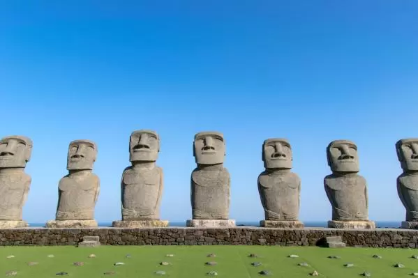
Sun Messe Nichinan
Sun Messe Nichinan is a special tourist spot that has completely recreated the Moai statues from Easter Island (Rapa Nui) in Japan. The Japanese Moai restoration tea...
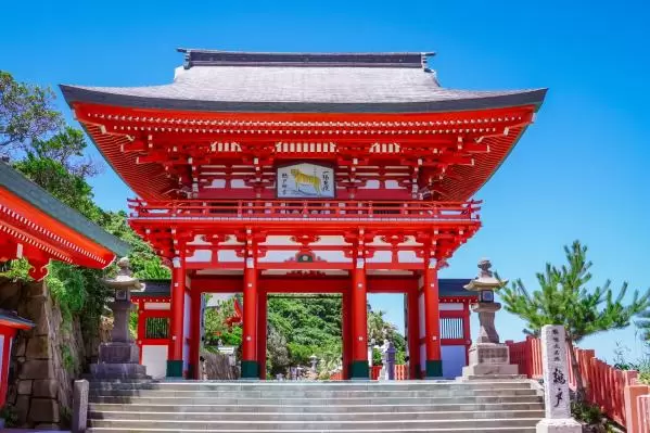
Udo Shrine
Udo Shrine, located in the southern part of Miyazaki Prefecture facing Hyuga-Nada, is a shrine that is affectionately known locally as “Udo-san.” The main shrine, pa...
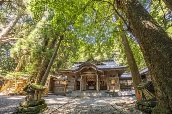
Takachiho Shrine
Takachiho Shrine is believed to have been founded around 1900 years ago during the reign of Emperor Suinin and is revered as the head shrine of the Takachiho 88 Shri...
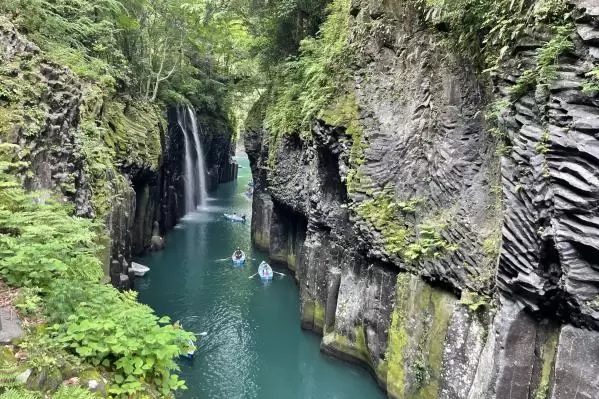
Takachiho Gorge
Takachiho Gorge is a stunning natural beauty created by the ancient volcanic activity of Mount Aso. This canyon features towering cliffs that stretch approximately 7...

Aoshima Shrine
Aoshima Shrine is located on Aoshima in Miyazaki City, where the entire island serves as the shrine grounds. It enshrines Hikohodemi no Mikoto and Toyotama-hime no M...